The Tamsin Trail
The Tamsin Trail is the long (7.35 mile) perimeter track all around Richmond Park.
Walk summary Cycling version of route
Length 7.35 miles / 2.5 - 4 hours
Difficulty Medium - good path but some hills
Refreshments Every mile or two is a cafe or ice-cream van
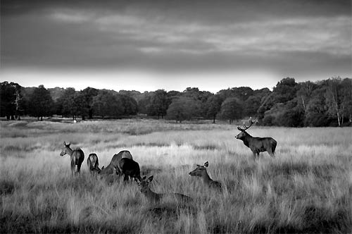
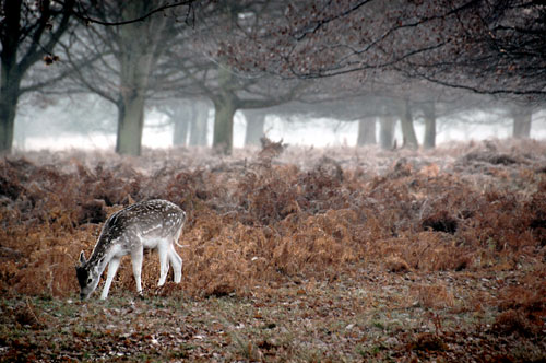
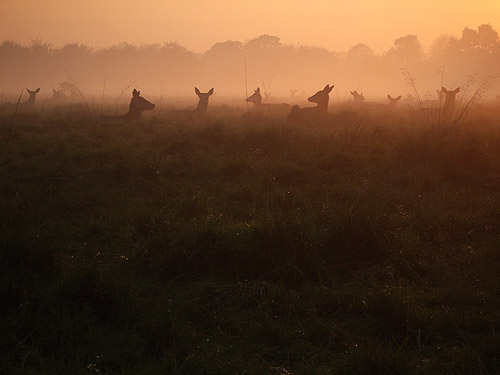
Highlights Good views. Wildlife, including deer and parakeets
It is a shared path with cyclists and runners.
You can join the path from any of the car parks or gates around the edge of the park. The track passes many of the deer's favourite places so good photographic opportunities are likely.
Map of the Tamsin Trail in Richmond Park
Tamsin Trail description
The Tamsin Trail is a man-made walking trail going to all corners of Richmond Park.
The path includes a couple of short climbs near Kingston Gate and some long slow inclines near Pembroke Lodge and Sheen.
How long does it take to walk around Richmond Park on the Tamsin Trail?
If you walk at a steady pace and don't stop much then it would take approximately 2 - 2.5 hours to walk all the way around the track.
However, it's more likely to take 3-4 hours to walk it with frequent stops for photos of deer and ice-creams!
Where are the best views?
Stop at King Henry's Mound near Pembroke Lodge for the protected view all the way to St Paul's Cathedral in Central London.
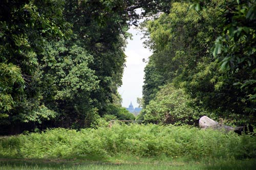
Additionally, a short detour to the top of Sawyer's Hill in between Richmond and Sheen gates provides exceptional views across into Central London.

There are a number of places to eat in Richmond Park along the Tamsin Trail.
I used a Nikon SLR camera for all photos on this website and highly recommended it: